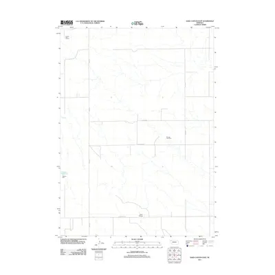
2011 Map of Sand Canyon East
USGS Topo · Published 2011About this map
Antelope Valley Cemetery sits at the northwestern edge of this rural landscape, providing a quiet record of early settlers in this corner of Dawes County. The terrain is defined by the namesake Sand Canyon and a network of agricultural water management systems, including the Hoatson Reservoir and Mirage Flats Dam. These features illustrate the transformation of the High Plains through irrigation and damming, which supported the local ranching and farming economy.
Find a feature on this map
10 named features on this map. Tap any name to fly to it.
Don’t see what you’re looking for? This feature index may not catch every label — zoom into the map to look around manually.
Map Details
Editions of this 2011 Sand Canyon East Map
This is the sole edition of this map. No revisions or reprints were ever made.
Other maps of this area

1947 · Box Butte NE
USGS Topo · 1:24,000

1947 · Box Butte NW
USGS Topo · 1:24,000

1949 · Box Butte NE
USGS Topo · 1:24,000

1949 · Box Butte NW
USGS Topo · 1:24,000

1950 · Skunk Lake
USGS Topo · 1:62,500

1955 · Alliance
USGS Topo · 1:250,000

1957 · Alliance
USGS Topo · 1:250,000

1958 · Alliance
USGS Topo · 1:250,000

1960 · Hay Springs SW
USGS Topo · 1:24,000

1966 · Chadron 3 SE
USGS Topo · 1:24,000