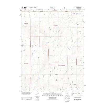
2013 Map of Sand Creek Pass
USGS Topo · Published 2013About this map
Roosevelt National Forest dominates this high-altitude landscape along the border of Colorado and Wyoming, centered on the prominent elevation of Bull Mountain. The map details a complex hydrological network where the headwaters of Shell Creek, Bull Run Creek, and Sand Creek carve through the terrain. A notable cultural landmark is the Roy Sweetland Grave, located near the intersection of the national forest boundary and Bull Mountain Rd. Evidence of water management in this arid mountain environment is seen in the Wilson Ditch and the Jimmy Creek Spring. Geological features like Chimney Rock and Boulder Ridge define the ridgelines, while Sand Creek Pass serves as a natural crossing point for the various primitive roads and trails, including W Co Road 80C, that navigate the slopes.
Find a feature on this map
41 named features on this map. Tap any name to fly to it.
Don’t see what you’re looking for? This feature index may not catch every label — zoom into the map to look around manually.
Map Details
Editions of this 2013 Sand Creek Pass Map
This is the sole edition of this map. No revisions or reprints were ever made.
Other maps of this area

1895 · Laramie
USGS Topo · 1:125,000

1902 · Laramie
USGS Topo · 1:125,000

1905 · Laramie
USGS Topo · 1:125,000

1906 · Laramie
USGS Topo · 1:125,000

1908 · Laramie
USGS Topo · 1:125,000

1916 · Home
USGS Topo · 1:125,000

1920 · Home
USGS Topo · 1:125,000

1954 · Cheyenne
USGS Topo · 1:250,000

1954 · Greeley
USGS Topo · 1:250,000

1957 · Greeley
USGS Topo · 1:250,000