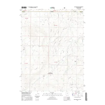
2016 Map of Sand Creek Pass
USGS Topo · Published 2016About this map
Bull Mountain and its surrounding high-altitude terrain dominate this 2016 survey along the border of Colorado and Wyoming. Within the Roosevelt National Forest, the landscape is defined by steep ridges and distinctive geologic features like Mushroom Rock and Honeymoon Ridge. A singular human mark is found at the Roy Sweetland Grave near the western edge of the quadrangle, a point of significant interest for local history researchers.
Find a feature on this map
55 named features on this map. Tap any name to fly to it.
Don’t see what you’re looking for? This feature index may not catch every label — zoom into the map to look around manually.
Map Details
Editions of this 2016 Sand Creek Pass Map
This is the sole edition of this map. No revisions or reprints were ever made.
Other maps of this area

1895 · Laramie
USGS Topo · 1:125,000

1902 · Laramie
USGS Topo · 1:125,000

1905 · Laramie
USGS Topo · 1:125,000

1906 · Laramie
USGS Topo · 1:125,000

1908 · Laramie
USGS Topo · 1:125,000

1916 · Home
USGS Topo · 1:125,000

1920 · Home
USGS Topo · 1:125,000

1954 · Cheyenne
USGS Topo · 1:250,000

1954 · Greeley
USGS Topo · 1:250,000

1957 · Greeley
USGS Topo · 1:250,000