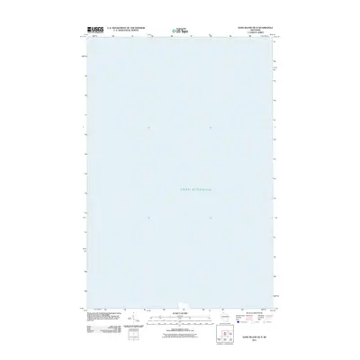
2011 Map of Sand Island OE N
USGS Topo · Published 2011About this map
The vast expanse of Lake Superior dominates this portion of the Apostle Islands region within the northernmost reaches of Wisconsin. This 2011 survey illustrates the deep-water transition north of the shoreline, capturing the maritime environment as it was recorded at the beginning of the decade. The map serves as a specialized cartographic reference for the open waters of the Great Lakes, providing a precise look at the hydrography and navigational coordinates between the mainland and the outer islands of Bayfield County.
Find a feature on this map
1 named feature on this map. Tap any name to fly to it.
Don’t see what you’re looking for? This feature index may not catch every label — zoom into the map to look around manually.
Map Details
Editions of this 2011 Sand Island OE N Map
This is the sole edition of this map. No revisions or reprints were ever made.
Other maps of this area

1941 · Bayfield
USGS Topo · 1:48,000

1944 · Cornucopia
USGS Topo · 1:48,000

1946 · Cornucopia
USGS Topo · 1:48,000

1946 · Bayfield
USGS Topo · 1:48,000

1953 · Ashland
USGS Topo · 1:250,000

1954 · Two Harbors
USGS Topo · 1:250,000

1957 · Two Harbors
USGS Topo · 1:250,000

1958 · Ashland
USGS Topo · 1:250,000

1958 · Two Harbors
USGS Topo · 1:250,000
1963 · Bear Island
USGS Topo · 1:24,000