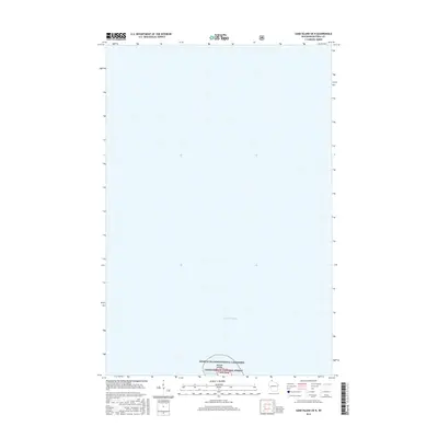
2015 Map of Sand Island OE N
USGS Topo · Published 2015About this map
Lake Superior dominates this nautical expanse, where the northernmost point of Sand Island meets the open water. This 2015 survey identifies the northern reaches of the Apostle Islands, a region defined by its conservation status within the Apostle Islands National Lakeshore and the Chequamegon National Forest. The map focuses primarily on the water-and-land interface at Lighthouse Bay, a critical landmark for maritime navigation in the archipelago. This modern topographic study provides an accurate record of the shoreline and protected federal lands as they appeared in the early 21st century, serving as a baseline for understanding the environmental and navigational geography of this isolated island system.
Find a feature on this map
6 named features on this map. Tap any name to fly to it.
Don’t see what you’re looking for? This feature index may not catch every label — zoom into the map to look around manually.
Map Details
Editions of this 2015 Sand Island OE N Map
This is the sole edition of this map. No revisions or reprints were ever made.
Other maps of this area

1941 · Bayfield
USGS Topo · 1:48,000

1944 · Cornucopia
USGS Topo · 1:48,000

1946 · Cornucopia
USGS Topo · 1:48,000

1946 · Bayfield
USGS Topo · 1:48,000

1953 · Ashland
USGS Topo · 1:250,000

1954 · Two Harbors
USGS Topo · 1:250,000

1957 · Two Harbors
USGS Topo · 1:250,000

1958 · Ashland
USGS Topo · 1:250,000

1958 · Two Harbors
USGS Topo · 1:250,000
1963 · Bear Island
USGS Topo · 1:24,000