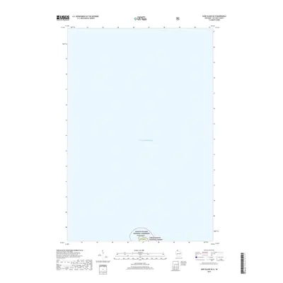
2018 Map of Sand Island OE N
USGS Topo · Published 2018About this map
Lake Superior dominates this nautical expanse, where the northernmost reach of Wisconsin meets the open water. The map focuses on the northern edge of Sand Island, a remote landmass protected within the Apostle Islands National Lakeshore. This area represents a preserved wilderness where the shoreline is managed as part of the Chequamegon National Forest, reflecting the conservation priorities of the early 21st century. The documentation of these protected Apostle Islands underscores their role as critical natural habitats and maritime landmarks within the Great Lakes system, showing the precise intersection of federally managed forest and lakeshore boundaries against the vastness of the water.
Find a feature on this map
5 named features on this map. Tap any name to fly to it.
Don’t see what you’re looking for? This feature index may not catch every label — zoom into the map to look around manually.
Map Details
Editions of this 2018 Sand Island OE N Map
This is the sole edition of this map. No revisions or reprints were ever made.
Other maps of this area

1941 · Bayfield
USGS Topo · 1:48,000

1944 · Cornucopia
USGS Topo · 1:48,000

1946 · Cornucopia
USGS Topo · 1:48,000

1946 · Bayfield
USGS Topo · 1:48,000

1953 · Ashland
USGS Topo · 1:250,000

1954 · Two Harbors
USGS Topo · 1:250,000

1957 · Two Harbors
USGS Topo · 1:250,000

1958 · Ashland
USGS Topo · 1:250,000

1958 · Two Harbors
USGS Topo · 1:250,000
1963 · Bear Island
USGS Topo · 1:24,000