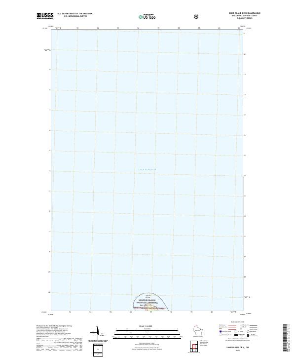
2022 Map of Sand Island OE N
USGS Topo · Published 2022About this map
Lake Superior dominates this northernmost reach of Wisconsin, where the open water of the Great Lakes meets the northern fringe of the Apostle Islands. The sheet captures the extreme northern tip of Sand Island, a site protected within the Apostle Islands National Lakeshore and the Chequamegon National Forest. This contemporary survey emphasizes the maritime boundary and the preserved wilderness of the archipelago, focusing on the interface between the lake and these federally protected lands. The presence of the t52n r5w boundary marker indicates the legal survey framework that still governs this remote island geography.
Find a feature on this map
6 named features on this map. Tap any name to fly to it.
Don’t see what you’re looking for? This feature index may not catch every label — zoom into the map to look around manually.
Map Details
Editions of this 2022 Sand Island OE N Map
This is the sole edition of this map. No revisions or reprints were ever made.
Other maps of this area

1941 · Bayfield
USGS Topo · 1:48,000

1944 · Cornucopia
USGS Topo · 1:48,000

1946 · Cornucopia
USGS Topo · 1:48,000

1946 · Bayfield
USGS Topo · 1:48,000

1953 · Ashland
USGS Topo · 1:250,000

1954 · Two Harbors
USGS Topo · 1:250,000

1957 · Two Harbors
USGS Topo · 1:250,000

1958 · Ashland
USGS Topo · 1:250,000

1958 · Two Harbors
USGS Topo · 1:250,000
1963 · Bear Island
USGS Topo · 1:24,000