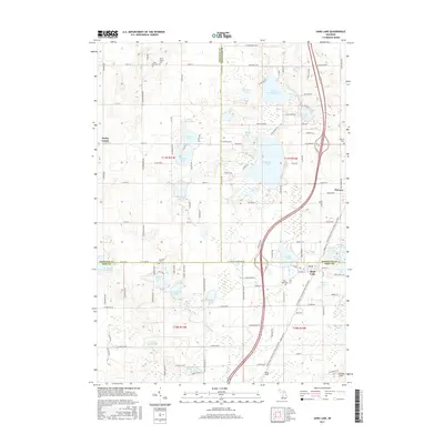
2017 Map of Sand Lake
USGS Topo · Published 2017About this map
Sand Lake and Pierson anchor this landscape at the tri-county junction of Kent, Montcalm, and Newaygo. The region is defined by a dense concentration of glacial kettle lakes, ranging from the large waters of Whitefish Lake and Little Whitefish Lake to smaller basins like Gidding Lake, Baptist Lake, and No-Ko-Mos Lake. This intricate hydrological network is drained by Duke Creek and White Creek, which weave through the townships of t11n r11w and t10n r10w.
Find a feature on this map
128 named features on this map. Tap any name to fly to it.
Don’t see what you’re looking for? This feature index may not catch every label — zoom into the map to look around manually.
Map Details
Editions of this 2017 Sand Lake Map
This is the sole edition of this map. No revisions or reprints were ever made.
Other maps of this area

1918 · Cedar Springs
USGS Topo · 1:62,500

1943 · Cedar Springs
USGS Topo · 1:62,500

1954 · Midland
USGS Topo · 1:250,000

1958 · Midland
USGS Topo · 1:250,000

1958 · Sand Lake
USGS Topo · 1:62,500

1959 · Midland
USGS Topo · 1:250,000

1959 · Howard City
USGS Topo · 1:62,500

1966 · Midland
USGS Topo · 1:250,000

1967 · Sparta
USGS Topo · 1:24,000

1967 · Cedar Springs
USGS Topo · 1:24,000