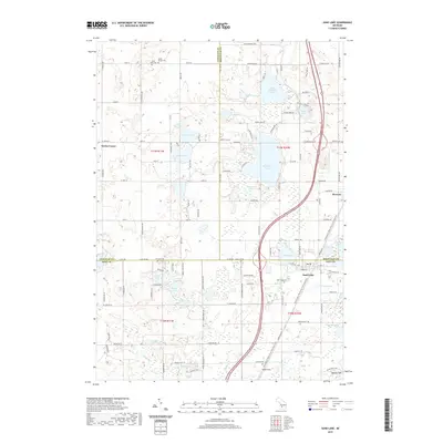
2019 Map of Sand Lake
USGS Topo · Published 2019About this map
Whitefish Lake and the surrounding cluster of glacial basins dominate the borderlands between Newaygo, Montcalm, and Kent counties. In this 2019 survey, the village of Sand Lake and the community of Pierson sit along the eastern edge of the quadrangle, connected by the rail-to-trail conversion of the Fred Meijer White Pine Trail State Park. This corridor traces the historic path of the Grand Rapids and Indiana Railroad through a landscape dotted with family-named cemeteries such as Saint John Cem and North Ensley Cem. Away from the more populated centers, the terrain transitions into the Cheney Hills and the swampy lowlands of No-Ko-Mos Lake and Lower Lake. The map details a legacy of rural infrastructure, from the small airfield at Wilds Field to the scattered settlements at Ensley Center, illustrating how modern recreation and agriculture coexist with nineteenth-century township grids.
Find a feature on this map
117 named features on this map. Tap any name to fly to it.
Don’t see what you’re looking for? This feature index may not catch every label — zoom into the map to look around manually.
Map Details
Editions of this 2019 Sand Lake Map
This is the sole edition of this map. No revisions or reprints were ever made.
Other maps of this area

1918 · Cedar Springs
USGS Topo · 1:62,500

1943 · Cedar Springs
USGS Topo · 1:62,500

1954 · Midland
USGS Topo · 1:250,000

1958 · Midland
USGS Topo · 1:250,000

1958 · Sand Lake
USGS Topo · 1:62,500

1959 · Midland
USGS Topo · 1:250,000

1959 · Howard City
USGS Topo · 1:62,500

1966 · Midland
USGS Topo · 1:250,000

1967 · Sparta
USGS Topo · 1:24,000

1967 · Cedar Springs
USGS Topo · 1:24,000