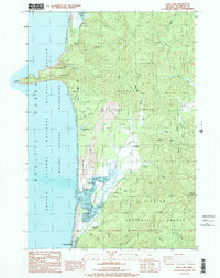
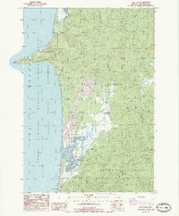
1985 Map of Sand Lake
USGS Topo · Published 1985About this map
Cape Lookout dominates the northern coastline of this Tillamook County shoreline, where the headland reaches into the Pacific Ocean at the edge of Cape Lookout State Park. The interior landscape reveals the complex hydrology of Sand Lake, a coastal estuary characterized by extensive tidal flats, a dike levee, and the centrally located Whalen Island. Small settlements like Sandlake, Jewell, and Tierra Del Mar provide evidence of rural habitation tucked between the dunes and the rising timber of the Siuslaw National Forest.
Find a feature on this map
38 named features on this map. Tap any name to fly to it.
Don’t see what you’re looking for? This feature index may not catch every label — zoom into the map to look around manually.
Map Details
Editions of this 1985 Sand Lake Map
2 editions found
Other maps of this area

1941 · Nestucca Bay
USGS Topo · 1:62,500

1942 · Nestucca Bay
USGS Topo · 1:62,500

1942 · Tillamook
USGS Topo · 1:62,500

1948 · Vancouver
USGS Topo · 1:250,000

1950 · Vancouver
USGS Topo · 1:250,000

1950 · Vancouver
USGS Topo · 1:250,000

1955 · Hebo
USGS Topo · 1:62,500

1955 · Tillamook
USGS Topo · 1:62,500

1958 · Vancouver
USGS Topo · 1:250,000

1964 · Vancouver
USGS Topo · 1:250,000