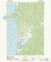
1985 Map of Sand Lake
USGS Topo · Published 1985About this map
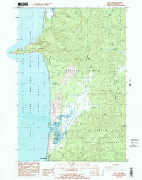
Cape Lookout State Park dominates the coastal landscape of this 1980s survey, where the prominent peninsula of Cape Lookout juts into the Pacific Ocean. The unique geography of Sand Lake is documented in detail, showing a complex estuarine environment protected by the Siuslaw National Forest. This era of the Oregon coast is characterized by a mix of public recreational lands and youth organizations, evidenced by the presence of Camp Meriwether and Big Medicine Camp situated along the shoreline.
Find a feature on this map
35 named features on this map. Tap any name to fly to it.
Don’t see what you’re looking for? This feature index may not catch every label — zoom into the map to look around manually.
Map Details
Editions of this 1985 Sand Lake Map
2 editions found
Other maps of this area

1941 · Nestucca Bay
USGS Topo · 1:62,500

1942 · Nestucca Bay
USGS Topo · 1:62,500

1942 · Tillamook
USGS Topo · 1:62,500

1948 · Vancouver
USGS Topo · 1:250,000

1950 · Vancouver
USGS Topo · 1:250,000

1950 · Vancouver
USGS Topo · 1:250,000

1955 · Hebo
USGS Topo · 1:62,500

1955 · Tillamook
USGS Topo · 1:62,500

1958 · Vancouver
USGS Topo · 1:250,000

1964 · Vancouver
USGS Topo · 1:250,000