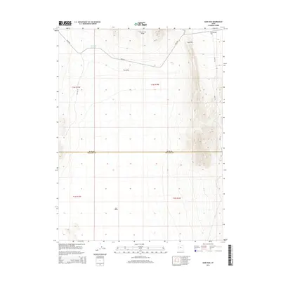
2014 Map of Sand Pass
USGS Topo · Published 2014About this map
Tule Valley dominates the central and southern expanse of this high desert landscape along the border of Juab and Millard counties. The terrain is defined by the sharp rise of the Fish Springs Range in the northeast, where the topographic relief drops toward the Fish Springs Flat. A primary thoroughfare, the Weiss Hwy, cuts across the northern reaches of the valley, passing near the Roadside Reservoir. This area reflects the characteristic Great Basin drainage patterns, where sparse water resources are collected in small catchments. To the east, the rugged contours of Dome Cyn and the geographical narrowing of Sand Pass provide critical navigation points through the otherwise broad alluvial plains. The map also records specialized industrial access via the Sand Pass Pit Rd, indicating the remote logistical network of this arid region.
Find a feature on this map
14 named features on this map. Tap any name to fly to it.
Don’t see what you’re looking for? This feature index may not catch every label — zoom into the map to look around manually.
Map Details
Editions of this 2014 Sand Pass Map
This is the sole edition of this map. No revisions or reprints were ever made.
Other maps of this area

1908 · Fish Springs
USGS Topo · 1:250,000

1910 · Fish Springs
USGS Topo · 1:250,000

1953 · Delta
USGS Topo · 1:250,000

1958 · Delta
USGS Topo · 1:250,000

1959 · Cowboy Pass
USGS Topo · 1:62,500

1960 · Granite Mountain
USGS Topo · 1:62,500

1962 · Delta
USGS Topo · 1:250,000

1967 · Sand Pass
USGS Topo · 1:24,000

1967 · Sand Pass NW
USGS Topo · 1:24,000

1967 · Sand Pass SE
USGS Topo · 1:24,000