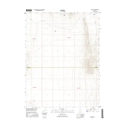
2017 Map of Sand Pass
USGS Topo · Published 2017About this map
Fish Springs Range dominates the eastern landscape of this Millard and Juab County borderland, where the high terrain abruptly gives way to the open expanses of the Tule Valley and Fish Springs Flat. The map centers on the namesake Sand Pass, a natural corridor through the mountains used by local routes like Sand Pass Rd and the Weis Hwy. This desert environment is characterized by its isolation and limited water resources, evidenced by the solitary Roadside Reservoir positioned along the northern highway. The stark division between the mountain range and the surrounding basins highlights the classic basin and range topography typical of the West Desert, serving as a critical reference for understanding the transit and grazing patterns of this arid region.
Find a feature on this map
12 named features on this map. Tap any name to fly to it.
Don’t see what you’re looking for? This feature index may not catch every label — zoom into the map to look around manually.
Map Details
Editions of this 2017 Sand Pass Map
This is the sole edition of this map. No revisions or reprints were ever made.
Other maps of this area

1908 · Fish Springs
USGS Topo · 1:250,000

1910 · Fish Springs
USGS Topo · 1:250,000

1953 · Delta
USGS Topo · 1:250,000

1958 · Delta
USGS Topo · 1:250,000

1959 · Cowboy Pass
USGS Topo · 1:62,500

1960 · Granite Mountain
USGS Topo · 1:62,500

1962 · Delta
USGS Topo · 1:250,000

1967 · Sand Pass
USGS Topo · 1:24,000

1967 · Sand Pass NW
USGS Topo · 1:24,000

1967 · Sand Pass SE
USGS Topo · 1:24,000