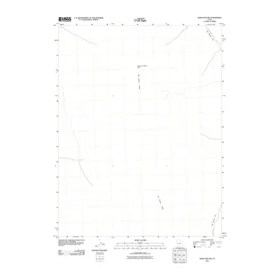
2011 Map of Sand Pass NW
USGS Topo · Published 2011About this map
George H. Hansen Peak dominates the center of this terrain, marking a significant high point within the Fish Springs Range. This northern Utah landscape is characterized by its stark elevation changes, transitioning from the verticality of the range down to the expanse of Fish Springs Flat. Transportation across this remote area is primarily facilitated by the Sand Pass Rd, which skirts the eastern edges of the mountains. The map details the topographical character of the Great Basin region, highlighting the isolation and the specific drainage patterns that define this part of Juab County. It serves as a record of the wilderness as it appeared during the early twenty-first century, before any modern infrastructure altered these traditional routes.
Find a feature on this map
4 named features on this map. Tap any name to fly to it.
Don’t see what you’re looking for? This feature index may not catch every label — zoom into the map to look around manually.
Map Details
Editions of this 2011 Sand Pass NW Map
This is the sole edition of this map. No revisions or reprints were ever made.
Other maps of this area

1908 · Fish Springs
USGS Topo · 1:250,000

1910 · Fish Springs
USGS Topo · 1:250,000

1953 · Delta
USGS Topo · 1:250,000

1958 · Delta
USGS Topo · 1:250,000

1960 · Granite Mountain
USGS Topo · 1:62,500

1962 · Delta
USGS Topo · 1:250,000

1967 · Sand Pass
USGS Topo · 1:24,000

1967 · Sand Pass NW
USGS Topo · 1:24,000

1967 · Sand Pass SE
USGS Topo · 1:24,000

1967 · Fish Springs SE
USGS Topo · 1:24,000