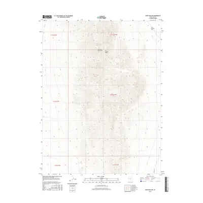
2017 Map of Sand Pass NW
USGS Topo · Published 2017About this map
George H. Hansen Peak dominates the center of this terrain, marking a high point in the Fish Springs Range of Juab County. This 2017 survey details a landscape defined by extreme verticality, where the mountain slopes descend sharply toward the level expanse of Fish Springs Flat to the northeast. Human infrastructure is nearly absent in this corner of the desert, represented only by the primitive path of Sand Pass Rd skirting the southeastern corner of the quadrangle. The map is a precise record of the Public Land Survey System boundaries, delineating townships including t13s r14w and t13s r15w, which provide essential spatial context for researchers tracing historic land claims or geographic points in this isolated part of the Great Basin.
Find a feature on this map
10 named features on this map. Tap any name to fly to it.
Don’t see what you’re looking for? This feature index may not catch every label — zoom into the map to look around manually.
Map Details
Editions of this 2017 Sand Pass NW Map
This is the sole edition of this map. No revisions or reprints were ever made.
Other maps of this area

1908 · Fish Springs
USGS Topo · 1:250,000

1910 · Fish Springs
USGS Topo · 1:250,000

1953 · Delta
USGS Topo · 1:250,000

1958 · Delta
USGS Topo · 1:250,000

1960 · Granite Mountain
USGS Topo · 1:62,500

1962 · Delta
USGS Topo · 1:250,000

1967 · Sand Pass
USGS Topo · 1:24,000

1967 · Sand Pass NW
USGS Topo · 1:24,000

1967 · Sand Pass SE
USGS Topo · 1:24,000

1967 · Fish Springs SE
USGS Topo · 1:24,000