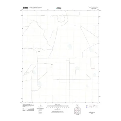
2010 Map of Sand Point
USGS Topo · Published 2010About this map
Sand Point and the surrounding panhandle plains are defined by a grid of agricultural and access roads in this Deaf Smith County survey. The landscape is marked by the unique outpost of The Cook Shack, located along the intersection of Co Rd UU and Co Rd 20A. The local infrastructure follows a strictly rectilinear pattern, with long stretches of Chuckwagon Rd and Co Rd 21 providing the primary movement through the territory. This map documents the sparse, ranch-oriented settlement patterns of the High Plains, where vast distances are managed through an organized network of numbered county roads like Co Rd 19 and Co Rd 24. Small topographic depressions and ephemeral drainage patterns suggest a landscape shaped by intermittent water and the practicalities of West Texas land management.
Find a feature on this map
9 named features on this map. Tap any name to fly to it.
Don’t see what you’re looking for? This feature index may not catch every label — zoom into the map to look around manually.
Map Details
Editions of this 2010 Sand Point Map
This is the sole edition of this map. No revisions or reprints were ever made.
Other maps of this area

1954 · Tucumcari
USGS Topo · 1:250,000

1954 · Clovis
USGS Topo · 1:250,000

1958 · Clovis
USGS Topo · 1:250,000

1958 · Tucumcari
USGS Topo · 1:250,000

1966 · Moser Ranch
USGS Topo · 1:24,000

1966 · Boise
USGS Topo · 1:24,000

1966 · Sand Point
USGS Topo · 1:24,000

1966 · Norton Lake
USGS Topo · 1:24,000

1968 · Rock Camp
USGS Topo · 1:24,000

1968 · Glenrio
USGS Topo · 1:24,000