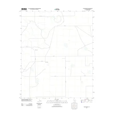
2012 Map of Sand Point
USGS Topo · Published 2012About this map
Sand Point anchors this portion of Deaf Smith County, reflecting the sparse, wide-open character of the Texas Panhandle. The landscape is defined by a geometric grid of rural routes, including Co Rd Uu, Co Rd T, and Chuckwagon Rd, which facilitate movement across the agricultural expanse. A notable point of human activity in this otherwise open terrain is The Cook Shack, suggesting a site of localized gathering or ranching operations typical of the High Plains region. This 2012 survey illustrates the enduring nature of the local infrastructure, where long-distance county roads like Co Rd-24 and Co Rd-21 connect isolated homesteads and ranching hubs within the flat, wind-swept geography of the Llano Estacado.
Find a feature on this map
8 named features on this map. Tap any name to fly to it.
Don’t see what you’re looking for? This feature index may not catch every label — zoom into the map to look around manually.
Map Details
Editions of this 2012 Sand Point Map
This is the sole edition of this map. No revisions or reprints were ever made.
Other maps of this area

1954 · Tucumcari
USGS Topo · 1:250,000

1954 · Clovis
USGS Topo · 1:250,000

1958 · Clovis
USGS Topo · 1:250,000

1958 · Tucumcari
USGS Topo · 1:250,000

1966 · Moser Ranch
USGS Topo · 1:24,000

1966 · Boise
USGS Topo · 1:24,000

1966 · Sand Point
USGS Topo · 1:24,000

1966 · Norton Lake
USGS Topo · 1:24,000

1968 · Rock Camp
USGS Topo · 1:24,000

1968 · Glenrio
USGS Topo · 1:24,000