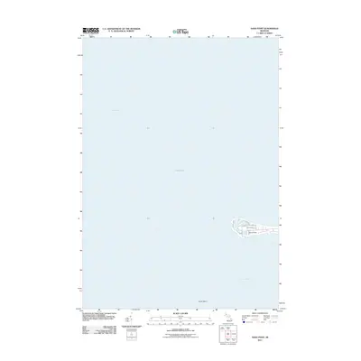
2011 Map of Sand Point
USGS Topo · Published 2011About this map
Saginaw Bay and Lake Huron converge at this prominent peninsula, where the settlement of Sand Point stretches into the water. The map documents a highly developed shoreline community defined by a dense network of residential roads including Sunset Blvd, N Shore Dr, and Lost Channel Dr. This layout reveals the area's twentieth-century evolution into a significant recreational and residential destination along the Michigan coast.
Find a feature on this map
9 named features on this map. Tap any name to fly to it.
Don’t see what you’re looking for? This feature index may not catch every label — zoom into the map to look around manually.
Map Details
Editions of this 2011 Sand Point Map
This is the sole edition of this map. No revisions or reprints were ever made.
Other maps of this area

1954 · Flint
USGS Topo · 1:250,000

1954 · Tawas City
USGS Topo · 1:250,000

1958 · Flint
USGS Topo · 1:250,000

1958 · Tawas City
USGS Topo · 1:250,000

1966 · Point Lookout
USGS Topo · 1:24,000

1970 · Bay Port West
USGS Topo · 1:24,000

1970 · Bay Port East
USGS Topo · 1:24,000

1970 · Caseville
USGS Topo · 1:24,000

1970 · Sand Point
USGS Topo · 1:24,000
1970 · Charity Island
USGS Topo · 1:24,000