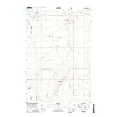
2014 Map of Sand River
USGS Topo · Published 2014About this map
Deerton and the settlement of Sand River anchor this coastal landscape along the southern shore of Lake Superior. The terrain is defined by a dense network of waterways, including the Laughing Whitefish River and its various branches, which drain toward the Great Lakes. A significant portion of the area is protected as part of the Hiawatha National Forest, highlighting the region's managed timber and recreational character. Local history is evident in named landmarks like the Deerton Cem and the natural beauty of Laughing Whitefish Falls.
Find a feature on this map
42 named features on this map. Tap any name to fly to it.
Don’t see what you’re looking for? This feature index may not catch every label — zoom into the map to look around manually.
Map Details
Editions of this 2014 Sand River Map
This is the sole edition of this map. No revisions or reprints were ever made.
Other maps of this area

1932 · Skandia SW
USGS Topo · 1:31,680

1932 · Skandia SE
USGS Topo · 1:31,680

1932 · Skandia NE
USGS Topo · 1:31,680

1950 · Skandia NW
USGS Topo · 1:31,680

1958 · Au Train
USGS Topo · 1:62,500

1958 · Laughing Fish Point
USGS Topo · 1:62,500

1958 · Skandia
USGS Topo · 1:62,500

1958 · Marquette
USGS Topo · 1:250,000

1960 · Marquette
USGS Topo · 1:250,000

1961 · Marquette
USGS Topo · 1:250,000
Featured Places
- Skandia Township, MI
- Rock River Township, MI
- Sand River, Onota Township
- Onota Township, MI
- Chocolay Township, MI