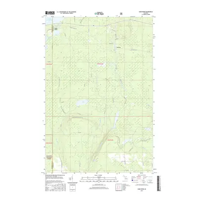
2017 Map of Sand River
USGS Topo · Published 2017About this map
Lake Superior frontage and the densely forested interior of the Hiawatha National Forest dominate this Upper Peninsula landscape. The small settlement of Deerton sits at a geographic crossroads near the Deerton Cem, while Sand River serves as a northern anchor near the lake shore. The terrain is defined by a complex network of waterways, including the Laughing Whitefish River and its various branches, which culminate in the dramatic Laughing Whitefish Falls south of Laughing Whitefish Lake.
Find a feature on this map
49 named features on this map. Tap any name to fly to it.
Don’t see what you’re looking for? This feature index may not catch every label — zoom into the map to look around manually.
Map Details
Editions of this 2017 Sand River Map
This is the sole edition of this map. No revisions or reprints were ever made.
Other maps of this area

1932 · Skandia SW
USGS Topo · 1:31,680

1932 · Skandia SE
USGS Topo · 1:31,680

1932 · Skandia NE
USGS Topo · 1:31,680

1950 · Skandia NW
USGS Topo · 1:31,680

1958 · Au Train
USGS Topo · 1:62,500

1958 · Laughing Fish Point
USGS Topo · 1:62,500

1958 · Skandia
USGS Topo · 1:62,500

1958 · Marquette
USGS Topo · 1:250,000

1960 · Marquette
USGS Topo · 1:250,000

1961 · Marquette
USGS Topo · 1:250,000
Featured Places
- Skandia Township, MI
- Rock River Township, MI
- Sand River, Onota Township
- Onota Township, MI
- Chocolay Township, MI