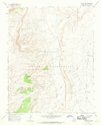
1966 Map of Sand Spring
USGS Topo · Published 1969About this map
Navajo Indian Reservation lands in San Juan County define this 1966 topographic survey, where a complex network of seasonal drainages has carved the arid landscape. The geography is centered on the confluence of several major waterways, including Shiprock Wash, Little Shiprock Wash, and Red Wash. Water sources were critical to life in this high desert environment, as evidenced by the namesake Sand Spring and another unnamed Spring located near the township line. Human presence is marked by a rudimentary Jeep Trail that winds through the southern section, likely serving as a vital transportation link between remote grazing areas or mineral exploration sites. The map illustrates the transition from the broader wash basins to the steep, rocky terrain at higher elevations, providing a detailed look at the land's character before modern infrastructure expanded across this part of New Mexico.
Find a feature on this map
11 named features on this map. Tap any name to fly to it.
Don’t see what you’re looking for? This feature index may not catch every label — zoom into the map to look around manually.
Map Details
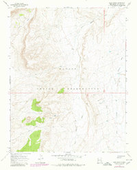
Editions of this 1966 Sand Spring Map
2 editions found
Other maps of this area

1889 · Chaco
USGS Topo · 1:250,000

1892 · Chaco
USGS Topo · 1:250,000

1892 · Canyon De Chelly
USGS Topo · 1:250,000

1934 · Ship Rock
USGS Topo · 1:62,500

1934 · Rattlesnake
USGS Topo · 1:62,500

1937 · Ship Rock
USGS Topo · 1:62,500

1937 · Rattlesnake
USGS Topo · 1:62,500

1953 · Redrock Valley NE
USGS Topo · 1:24,000

1953 · Redrock Valley SE
USGS Topo · 1:24,000

1953 · Pastora Peak SE
USGS Topo · 1:24,000