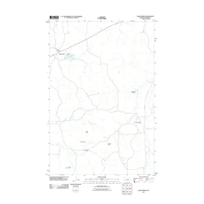
2011 Map of Sand Springs
USGS Topo · Published 2011About this map
Sand Springs serves as the primary focal point of this eastern Montana landscape, situated along a network of ranch roads and remote drainage systems. The Sand Springs Post Office stands as a key local landmark within the settlement, which is surrounded by a topography of distinct rises such as Kirts Butte, Mows Butte, and Manlove Butte. Water management is central to the area's geography, evidenced by a series of small-scale impoundments and dams including Charagus Dam, which forms the Krieder Reservoir, and the 71 Ranch Number 3 Dam. These features illustrate the vital role of reservoir construction in supporting livestock and agricultural operations across the dry plains. Seasonal watercourses like South Fork Lodgepole Creek, Big Dry Creek, and Dry Fork Calf Creek wind through the terrain, further defined by landforms like Brickhammer Coulee.
Find a feature on this map
16 named features on this map. Tap any name to fly to it.
Don’t see what you’re looking for? This feature index may not catch every label — zoom into the map to look around manually.
Map Details
Editions of this 2011 Sand Springs Map
This is the sole edition of this map. No revisions or reprints were ever made.
Other maps of this area

1954 · Jordan
USGS Topo · 1:250,000

1954 · Forsyth
USGS Topo · 1:250,000

1956 · Jordan
USGS Topo · 1:250,000

1957 · Forsyth
USGS Topo · 1:250,000

1958 · Jordan
USGS Topo · 1:250,000

1958 · Forsyth
USGS Topo · 1:250,000

1963 · Mc Williams Springs
USGS Topo · 1:24,000

1964 · Jordan
USGS Topo · 1:250,000

1965 · Robertson School
USGS Topo · 1:24,000

1965 · Edwards
USGS Topo · 1:24,000