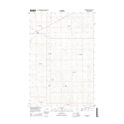
2014 Map of Sand Springs
USGS Topo · Published 2014About this map
Sand Springs sits at the intersection of MT-200 and Benzien Rd, serving as a primary point of reference in this sparsely populated stretch of Garfield County. The landscape is defined by its drainages and isolated high points, including Kirts Butte, Mows Butte, and Manlove Butte which rise above the surrounding terrain. Water is a central element of the local geography, with the S Fork Lodgepole Cr flowing near the Krieder Reservoir, while Brickhammer Coulee and Big Dry Cr carve paths through the eastern half of the quadrangle.
Find a feature on this map
20 named features on this map. Tap any name to fly to it.
Don’t see what you’re looking for? This feature index may not catch every label — zoom into the map to look around manually.
Map Details
Editions of this 2014 Sand Springs Map
This is the sole edition of this map. No revisions or reprints were ever made.
Other maps of this area

1954 · Jordan
USGS Topo · 1:250,000

1954 · Forsyth
USGS Topo · 1:250,000

1956 · Jordan
USGS Topo · 1:250,000

1957 · Forsyth
USGS Topo · 1:250,000

1958 · Jordan
USGS Topo · 1:250,000

1958 · Forsyth
USGS Topo · 1:250,000

1963 · Mc Williams Springs
USGS Topo · 1:24,000

1964 · Jordan
USGS Topo · 1:250,000

1965 · Robertson School
USGS Topo · 1:24,000

1965 · Edwards
USGS Topo · 1:24,000