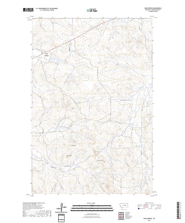
2024 Map of Sand Springs
USGS Topo · Published 2024About this map
Sand Springs serves as the focal point for this expansive section of central Montana, where the prairie is defined by a network of drainage systems and isolated landforms. The landscape is carved by the Big Dry Creek, South Fork Lodgepole Creek, and Dry Fork Calf Creek, which dictate the local topography of deep coulees and rising buttes. This modern survey illustrates the enduring rural infrastructure of Garfield County, where long-established routes like Benzien Rd and Ingomar Rd connect sparse homesteads and ranching tracts across the township boundaries.
Find a feature on this map
17 named features on this map. Tap any name to fly to it.
Don’t see what you’re looking for? This feature index may not catch every label — zoom into the map to look around manually.
Map Details
Editions of this 2024 Sand Springs Map
This is the sole edition of this map. No revisions or reprints were ever made.
Other maps of this area

1954 · Jordan
USGS Topo · 1:250,000

1954 · Forsyth
USGS Topo · 1:250,000

1956 · Jordan
USGS Topo · 1:250,000

1957 · Forsyth
USGS Topo · 1:250,000

1958 · Jordan
USGS Topo · 1:250,000

1958 · Forsyth
USGS Topo · 1:250,000

1963 · Mc Williams Springs
USGS Topo · 1:24,000

1964 · Jordan
USGS Topo · 1:250,000

1965 · Robertson School
USGS Topo · 1:24,000

1965 · Edwards
USGS Topo · 1:24,000