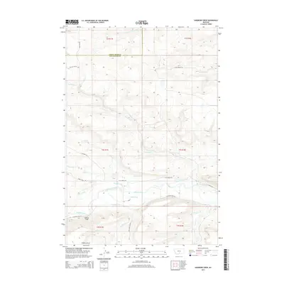
2014 Map of Sandborn Creek
USGS Topo · Published 2014About this map
Stillwater River drainage patterns and complex irrigation networks define this portion of the Montana landscape along the border of Sweet Grass and Stillwater counties. The map details an extensive system of water management infrastructure, including the Stillwater Ditch, Larson-Johnson Ditch, and Tintinger Ditch, reflecting the critical role of water rights in this ranching and agricultural region. Significant topographical landmarks like Fladberg Bench and Huntley Butte Rd rise above the river valley, while a lone Cabin near Sandborn Creek suggests the area's sparse, rural settlement pattern. The transition from the high plateau of the bench down to the Madison Grade illustrates the challenging terrain that guided early road placement and land use.
Find a feature on this map
37 named features on this map. Tap any name to fly to it.
Don’t see what you’re looking for? This feature index may not catch every label — zoom into the map to look around manually.
Map Details
Editions of this 2014 Sandborn Creek Map
This is the sole edition of this map. No revisions or reprints were ever made.
Other maps of this area

1891 · Big Timber
USGS Topo · 1:125,000

1892 · Stillwater
USGS Topo · 1:125,000

1893 · Big Timber
USGS Topo · 1:125,000

1898 · Granite Mountain District
USGS Topo · 1:125,000

1932 · Red Lodge No 2
USGS Topo · 1:48,000

1932 · Nye No 1
USGS Topo · 1:48,000

1954 · Billings
USGS Topo · 1:250,000

1955 · Sandborn Creek
USGS Topo · 1:24,000

1955 · Reed Point
USGS Topo · 1:24,000

1955 · Springtime
USGS Topo · 1:24,000