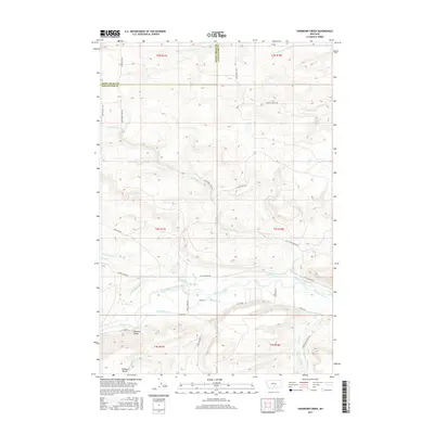
2017 Map of Sandborn Creek
USGS Topo · Published 2017About this map
The Stillwater River corridor dominates the southern half of this landscape, serving as the focal point for an extensive network of irrigation infrastructure. This 2017 survey details a complex system of water management, featuring named channels such as the Stillwater Ditch, Larson-Johnson Ditch, and Weir-Crawford Ditch that weave through the valley. The terrain transitions from the low-lying river plains to elevated landmarks like Fladberg Bench and the Madison Grade, indicating the distinct elevation shifts common to this part of Montana.
Find a feature on this map
39 named features on this map. Tap any name to fly to it.
Don’t see what you’re looking for? This feature index may not catch every label — zoom into the map to look around manually.
Map Details
Editions of this 2017 Sandborn Creek Map
This is the sole edition of this map. No revisions or reprints were ever made.
Other maps of this area

1891 · Big Timber
USGS Topo · 1:125,000

1892 · Stillwater
USGS Topo · 1:125,000

1893 · Big Timber
USGS Topo · 1:125,000

1898 · Granite Mountain District
USGS Topo · 1:125,000

1932 · Red Lodge No 2
USGS Topo · 1:48,000

1932 · Nye No 1
USGS Topo · 1:48,000

1954 · Billings
USGS Topo · 1:250,000

1955 · Sandborn Creek
USGS Topo · 1:24,000

1955 · Reed Point
USGS Topo · 1:24,000

1955 · Springtime
USGS Topo · 1:24,000