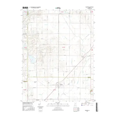
2016 Map of Sandborn
USGS Topo · Published 2016About this map
Sandborn sits at the junction of Knox and Greene counties, serving as a focal point for the agricultural lowlands in this 2016 survey. The landscape is defined by an intricate network of drainage systems, including Beehunter Ditch, Singer Ditch, and Hamilton Ditch, which manage the water levels of the surrounding fertile plains. To the west, Pleasantville marks the edge of the upland, while the lowland area of Cane Green Bottom highlights the characteristic terrain of the White River valley's periphery. Genealogists and local historians will find significant value in the documentation of several rural burial grounds, such as Delay Cem and Begeman Cem, which anchor the histories of the surrounding farmsteads. The settlement pattern remains largely tied to the crossroads at Marco and Westphalia, showing the enduring footprint of these small Indiana communities.
Find a feature on this map
93 named features on this map. Tap any name to fly to it.
Don’t see what you’re looking for? This feature index may not catch every label — zoom into the map to look around manually.
Map Details
Editions of this 2016 Sandborn Map
This is the sole edition of this map. No revisions or reprints were ever made.
Other maps of this area

1938 · Switz City
USGS Topo · 1:24,000

1940 · Linton
USGS Topo · 1:24,000

1943 · Lyons
USGS Topo · 1:24,000

1943 · Sandborn
USGS Topo · 1:24,000

1943 · Bicknell
USGS Topo · 1:24,000

1943 · Plainville
USGS Topo · 1:24,000

1943 · Dugger
USGS Topo · 1:24,000

1943 · Epsom
USGS Topo · 1:24,000

1944 · Bucktown
USGS Topo · 1:24,000

1947 · Switz City
USGS Topo · 1:24,000