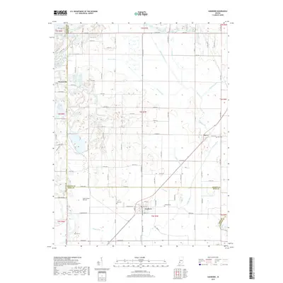
2019 Map of Sandborn
USGS Topo · Published 2019About this map
Sandborn anchors the southern portion of this landscape, where the convergence of the Greene and Knox County lines meets an extensive network of drainage infrastructure. This 2019 survey illustrates how the low-lying terrain of southwestern Indiana is defined by a complex web of waterways, including Black Creek, Singer Ditch, and Beehunter Ditch. These channels support the agricultural character of areas like Cane Green Bottom, where the natural hydrology has been significantly modified to manage the watershed.
Find a feature on this map
65 named features on this map. Tap any name to fly to it.
Don’t see what you’re looking for? This feature index may not catch every label — zoom into the map to look around manually.
Map Details
Editions of this 2019 Sandborn Map
This is the sole edition of this map. No revisions or reprints were ever made.
Other maps of this area

1938 · Switz City
USGS Topo · 1:24,000

1940 · Linton
USGS Topo · 1:24,000

1943 · Lyons
USGS Topo · 1:24,000

1943 · Sandborn
USGS Topo · 1:24,000

1943 · Bicknell
USGS Topo · 1:24,000

1943 · Plainville
USGS Topo · 1:24,000

1943 · Dugger
USGS Topo · 1:24,000

1943 · Epsom
USGS Topo · 1:24,000

1944 · Bucktown
USGS Topo · 1:24,000

1947 · Switz City
USGS Topo · 1:24,000