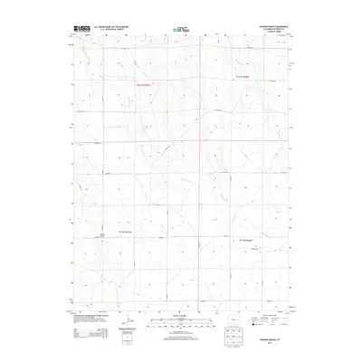
2013 Map of Sanders Ranch
USGS Topo · Published 2013About this map
Sanders Ranch sits within a wide-open landscape defined by ephemeral drainage networks in eastern Colorado during the early 21st century. The terrain is shaped by the intermittent flows of Wild Horse Cr and Bellyache Cr, which carve subtle paths through the high plains. A rigid grid of county roads, including CO Road DD, CO Road AA, and CO Road 5, reveals the highly organized nature of agricultural land division in Cheyenne County. These roads provide the primary infrastructure for the ranching operations that characterize the region. The presence of Adobe Gulch further illustrates the localized erosion patterns common to this arid environment, where water creates distinct topographical features in an otherwise steady landscape. This 2013 survey reflects a moment when traditional land use patterns remained deeply etched into the geography of the American West.
Find a feature on this map
23 named features on this map. Tap any name to fly to it.
Don’t see what you’re looking for? This feature index may not catch every label — zoom into the map to look around manually.
Map Details
Editions of this 2013 Sanders Ranch Map
This is the sole edition of this map. No revisions or reprints were ever made.
Other maps of this area

1891 · Arroyo
USGS Topo · 1:125,000

1891 · Kit Carson
USGS Topo · 1:125,000

1893 · Arroyo
USGS Topo · 1:125,000

1893 · Kit Carson
USGS Topo · 1:125,000

1954 · Limon
USGS Topo · 1:250,000

1954 · Lamar
USGS Topo · 1:250,000

1957 · Limon
USGS Topo · 1:250,000

1958 · Limon
USGS Topo · 1:250,000

1958 · Lamar
USGS Topo · 1:250,000

1978 · Aroya
USGS Topo · 1:24,000