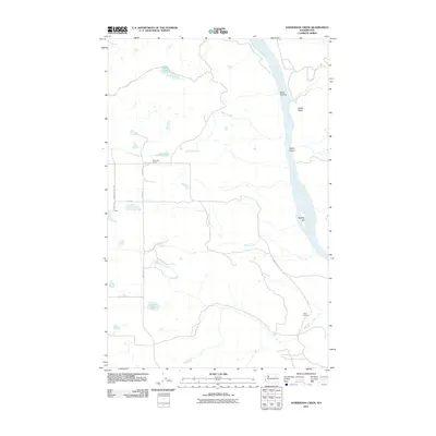
2011 Map of Sanderson Creek
USGS Topo · Published 2011About this map
The Columbia River dominates the eastern edge of this Okanogan County landscape, where the high plateaus are carved by deep drainages like Deep Canyon and Kaiser Canyon. The settlement of Rex anchors a network of rural roads such as Siebold Hill Rex Rd and Pendell Rex Rd, which connect isolated homesteads and agricultural tracts. This 2011 survey captures a rural landscape still defined by its educational and water landmarks, including the Rock Lake School near Rock Lake and the Barry School further south.
Find a feature on this map
23 named features on this map. Tap any name to fly to it.
Don’t see what you’re looking for? This feature index may not catch every label — zoom into the map to look around manually.
Map Details
Editions of this 2011 Sanderson Creek Map
This is the sole edition of this map. No revisions or reprints were ever made.
Other maps of this area

1948 · Grand Coulee Dam
USGS Topo · 1:62,500

1950 · Grand Coulee Dam
USGS Topo · 1:62,500

1950 · Nespelem
USGS Topo · 1:62,500

1950 · Alameda Flat
USGS Topo · 1:62,500

1952 · Alameda Flat
USGS Topo · 1:62,500

1953 · Ritzville
USGS Topo · 1:250,000

1954 · Okanogan
USGS Topo · 1:250,000

1958 · Okanogan
USGS Topo · 1:250,000

1959 · Ritzville
USGS Topo · 1:250,000

1965 · Ritzville
USGS Topo · 1:250,000