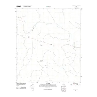
2010 Map of Sanderson SE
USGS Topo · Published 2010About this map
Sanderson Creek winds through this arid expanse of Terrell County, carving a drainage system that defines the local topography. This 2010 survey illustrates a landscape primarily shaped by large-scale ranching and rugged watercourses, where human presence is marked by established holdings like Harrell Ranch and Carruthers Ranch. The convergence of Sanderson Canyon and smaller tributaries like Seminole Canyon dictates the path of the regional road network.
Find a feature on this map
13 named features on this map. Tap any name to fly to it.
Don’t see what you’re looking for? This feature index may not catch every label — zoom into the map to look around manually.
Map Details
Editions of this 2010 Sanderson SE Map
This is the sole edition of this map. No revisions or reprints were ever made.
Other maps of this area

1918 · Dryden Crossing
USGS Topo · 1:62,500

1918 · Indian Wells
USGS Topo · 1:62,500

1928 · Sanderson
USGS Topo · 1:125,000

1954 · Fort Stockton
USGS Topo · 1:250,000

1958 · Fort Stockton
USGS Topo · 1:250,000

1959 · Emory Peak
USGS Topo · 1:250,000

1965 · Emory Peak
USGS Topo · 1:250,000

1969 · Sanderson SE
USGS Topo · 1:24,000

1969 · Sanderson
USGS Topo · 1:24,000

1969 · Mofeta
USGS Topo · 1:24,000