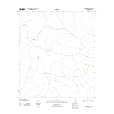
2012 Map of Sanderson SE
USGS Topo · Published 2012About this map
Sanderson Cr winds through this arid section of Terrell County, carving a path across a landscape defined by ranching and remote transport routes. In the early 21st century, large cattle operations remain the primary markers of settlement, notably the Harrell Ranch and Carruthers Ranch. These family-named lands are connected by a network of ranch roads including Harrell Rd and Carruthers Rd. The local topography is further shaped by prominent features such as Five Mile Hill Rd and Bone Water Rd, which suggest the challenges of navigating this thirsty terrain. This U.S. Geological Survey topographic study documents the region's sparse infrastructure and the enduring importance of seasonal watercourses in West Texas.
Find a feature on this map
9 named features on this map. Tap any name to fly to it.
Don’t see what you’re looking for? This feature index may not catch every label — zoom into the map to look around manually.
Map Details
Editions of this 2012 Sanderson SE Map
This is the sole edition of this map. No revisions or reprints were ever made.
Other maps of this area

1918 · Dryden Crossing
USGS Topo · 1:62,500

1918 · Indian Wells
USGS Topo · 1:62,500

1928 · Sanderson
USGS Topo · 1:125,000

1954 · Fort Stockton
USGS Topo · 1:250,000

1958 · Fort Stockton
USGS Topo · 1:250,000

1959 · Emory Peak
USGS Topo · 1:250,000

1965 · Emory Peak
USGS Topo · 1:250,000

1969 · Sanderson SE
USGS Topo · 1:24,000

1969 · Sanderson
USGS Topo · 1:24,000

1969 · Mofeta
USGS Topo · 1:24,000