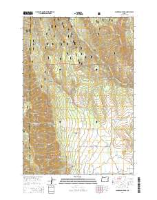
2014 Map of Sanderson Spring
USGS Topo · Published 2014About this map
The Umatilla National Forest dominates this section of the Blue Mountains, where the high ridges of Huckleberry Mountain and Andies Ridge overlook a complex network of canyons and creeks. This 2014 survey documents a landscape defined by its water sources and rugged transit routes, including the Rocky Ridge Indian Tr and numerous forest development roads that thread through the timber. Significant drainage systems such as Phillips Cr and Smith Cr carve through the terrain, eventually leading toward the Grande Ronde Valley at the southern edge of the sheet.
Find a feature on this map
63 named features on this map. Tap any name to fly to it.
Don’t see what you’re looking for? This feature index may not catch every label — zoom into the map to look around manually.
Map Details
Editions of this 2014 Sanderson Spring Map
This is the sole edition of this map. No revisions or reprints were ever made.
Other maps of this area

1906 · Telocaset
USGS Topo · 1:125,000

1953 · Pendleton
USGS Topo · 1:250,000

1955 · Grangeville
USGS Topo · 1:250,000

1956 · Pendleton
USGS Topo · 1:250,000

1959 · Grangeville
USGS Topo · 1:250,000

1963 · Andies Prairie
USGS Topo · 1:24,000

1963 · Sanderson Spring
USGS Topo · 1:24,000

1963 · Bingham Springs
USGS Topo · 1:24,000

1963 · Summerville
USGS Topo · 1:24,000

1964 · Partridge Creek
USGS Topo · 1:24,000