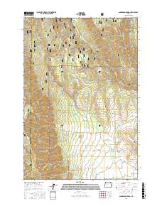
2017 Map of Sanderson Spring
USGS Topo · Published 2017About this map
The Umatilla National Forest dominates the northern reaches of this landscape, where the high ridges of the Blue Mountains descend toward the fertile Grande Ronde Valley in the south. This transition from timbered heights to valley floor is marked by a complex network of drainages including Phillips Cr, Smith Cr, and Dry Cr, which carve deep canyons such as Moonshine Canyon and Jack Canyon.
Find a feature on this map
73 named features on this map. Tap any name to fly to it.
Don’t see what you’re looking for? This feature index may not catch every label — zoom into the map to look around manually.
Map Details
Editions of this 2017 Sanderson Spring Map
This is the sole edition of this map. No revisions or reprints were ever made.
Other maps of this area

1906 · Telocaset
USGS Topo · 1:125,000

1953 · Pendleton
USGS Topo · 1:250,000

1955 · Grangeville
USGS Topo · 1:250,000

1956 · Pendleton
USGS Topo · 1:250,000

1959 · Grangeville
USGS Topo · 1:250,000

1963 · Andies Prairie
USGS Topo · 1:24,000

1963 · Sanderson Spring
USGS Topo · 1:24,000

1963 · Bingham Springs
USGS Topo · 1:24,000

1963 · Summerville
USGS Topo · 1:24,000

1964 · Partridge Creek
USGS Topo · 1:24,000