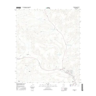
2016 Map of Sanderson
USGS Topo · Published 2016About this map
Sanderson serves as the focal point of this West Texas landscape, where the town grid is defined by streets such as W Downie St and Railroad St. The area's character is shaped by a complex network of drainage features and canyons, including Sanderson Canyon and Putman Canyon, which lead toward the principal artery of Sanderson Cr. The town's local history is anchored by the Santa Rita Cem and Cedar Grove Cem located on the southeastern edge of the settlement.
Find a feature on this map
33 named features on this map. Tap any name to fly to it.
Don’t see what you’re looking for? This feature index may not catch every label — zoom into the map to look around manually.
Map Details
Editions of this 2016 Sanderson Map
This is the sole edition of this map. No revisions or reprints were ever made.
Other maps of this area

1920 · Longfellow
USGS Topo · 1:125,000

1928 · Sanderson
USGS Topo · 1:125,000

1954 · Fort Stockton
USGS Topo · 1:250,000

1958 · Fort Stockton
USGS Topo · 1:250,000

1968 · Big Brindle Canyon
USGS Topo · 1:24,000

1968 · Toms Canyon
USGS Topo · 1:24,000

1968 · Ninemile Ranch
USGS Topo · 1:24,000

1969 · Sanderson SE
USGS Topo · 1:24,000

1969 · Sanderson
USGS Topo · 1:24,000

1969 · Big Canyon Ranch
USGS Topo · 1:24,000