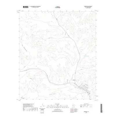
2019 Map of Sanderson
USGS Topo · Published 2019About this map
Sanderson serves as the focal point of this West Texas landscape, where the confluence of several prominent drainages defines the local geography. The town sits at the meeting of Sanderson Canyon and Sanderson Cr, with its residential streets laid out on a grid that includes Railroad St and School St. This survey captures the water management infrastructure of the high desert, specifically the Soil Conservation Service Site 8 Reservoir and Soil Conservation Service Site 10 Reservoir designed to mitigate runoff from the surrounding plateaus.
Find a feature on this map
32 named features on this map. Tap any name to fly to it.
Don’t see what you’re looking for? This feature index may not catch every label — zoom into the map to look around manually.
Map Details
Editions of this 2019 Sanderson Map
This is the sole edition of this map. No revisions or reprints were ever made.
Other maps of this area

1920 · Longfellow
USGS Topo · 1:125,000

1928 · Sanderson
USGS Topo · 1:125,000

1954 · Fort Stockton
USGS Topo · 1:250,000

1958 · Fort Stockton
USGS Topo · 1:250,000

1968 · Big Brindle Canyon
USGS Topo · 1:24,000

1968 · Toms Canyon
USGS Topo · 1:24,000

1968 · Ninemile Ranch
USGS Topo · 1:24,000

1969 · Sanderson SE
USGS Topo · 1:24,000

1969 · Sanderson
USGS Topo · 1:24,000

1969 · Big Canyon Ranch
USGS Topo · 1:24,000