Loading...
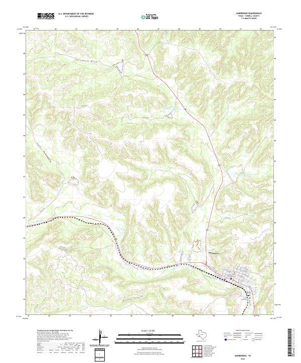
Loading map...2022 Map of Sanderson
USGS Topo · Published 2022About this map
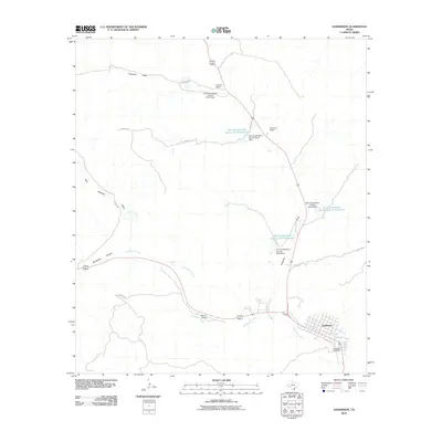
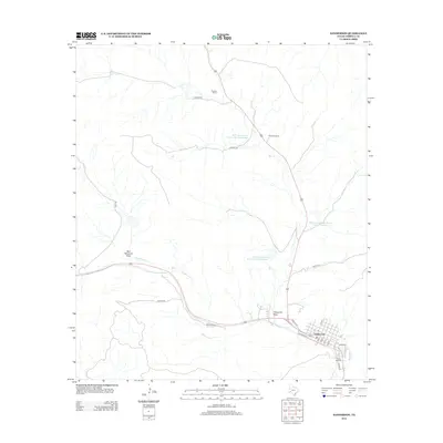
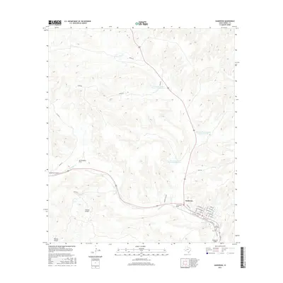
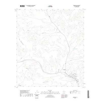
Sanderson serves as the focal point of this West Texas landscape, centered on the Terrell County Courthouse and the surrounding grid of residential streets. The town is bounded to the south by the deep cut of Sanderson Canyon and is bisected by the flow of Sanderson Cr. The high desert terrain is defined by a network of drainage features, including Putman Canyon and Threemile Draw, which dictate the local infrastructure.
Find a feature on this map
32 named features on this map. Tap any name to fly to it.
Don’t see what you’re looking for? This feature index may not catch every label — zoom into the map to look around manually.
Map Details
Date Portrayed2022
Date Published2022
PublisherU.S. Geological Survey
Map TypeTopographic
Scale1:24,000
Physical Dimensions24 x 29 inches
Editions of this 2022 Sanderson Map
This is the sole edition of this map. No revisions or reprints were ever made.
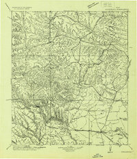
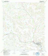
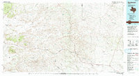
Historical Maps of Sanderson Through Time
8 maps found
Featured Locations
Source Details
SourceU.S. Geological Survey
CopyrightPublic Domain