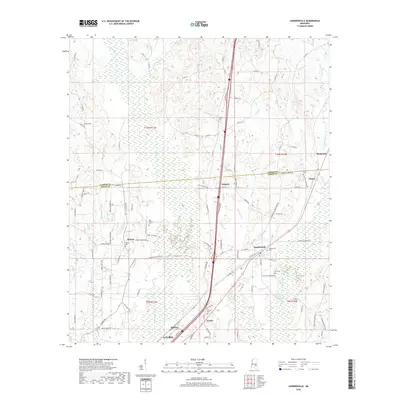
2018 Map of Sandersville
USGS Topo · Published 2018About this map
Sandersville serves as the primary hub for this portion of the Piney Woods, situated along the corridor where industry and local commerce meet. The landscape is defined by the headwaters and branches of the Bogue Homo, which winds through the eastern half of the quadrangle, while the western side is dominated by a dense network of country roads connecting smaller settlements like Sharon and Errata. This 2018 survey reveals a territory where local heritage is preserved in numerous family and community burial grounds, including the Old Sharon Cem and May Cem. The intersection of rail and road infrastructure near Hawkes and the presence of Dead Lake highlight the varied topography of Jones County, illustrating the balance between managed land use and the natural drainage systems of Tallahattah Cr and Reedy Cr.
Find a feature on this map
116 named features on this map. Tap any name to fly to it.
Don’t see what you’re looking for? This feature index may not catch every label — zoom into the map to look around manually.
Map Details
Editions of this 2018 Sandersville Map
This is the sole edition of this map. No revisions or reprints were ever made.
Other maps of this area

1953 · Hattiesburg
USGS Topo · 1:250,000

1958 · Hattiesburg
USGS Topo · 1:250,000

1963 · Waldrup
USGS Topo · 1:24,000

1963 · Heidelberg
USGS Topo · 1:24,000

1964 · Heidelberg SW
USGS Topo · 1:24,000

1964 · Moss
USGS Topo · 1:24,000

1964 · Sandersville
USGS Topo · 1:24,000

1964 · Laurel East
USGS Topo · 1:24,000

1964 · Laurel West
USGS Topo · 1:24,000

1964 · Myrick
USGS Topo · 1:24,000