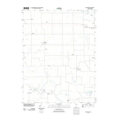
2011 Map of Sandford
USGS Topo · Published 2011About this map
Sandford and Elbridge sit at the center of this rural landscape straddling the Illinois-Indiana border, where a complex network of creeks and small-scale resource extraction defines the terrain. The presence of the Elbridge Oil Field and the Green Valley Mine Pond indicates a history of local energy production, while the agricultural character is reinforced by scattered settlements like Kentucky, Libertyville, and Vermilion.
Find a feature on this map
28 named features on this map. Tap any name to fly to it.
Don’t see what you’re looking for? This feature index may not catch every label — zoom into the map to look around manually.
Map Details
Editions of this 2011 Sandford Map
This is the sole edition of this map. No revisions or reprints were ever made.
Other maps of this area

1932 · Marshall
USGS Topo · 1:62,500

1937 · Marshall
USGS Topo · 1:62,500

1941 · Terre Haute
USGS Topo · 1:24,000

1942 · Dennison
USGS Topo · 1:24,000

1947 · Paris
USGS Topo · 1:62,500

1948 · Terre Haute
USGS Topo · 1:24,000

1949 · Paris
USGS Topo · 1:62,500

1950 · New Goshen
USGS Topo · 1:24,000

1950 · Sandford
USGS Topo · 1:24,000

1951 · Clinton
USGS Topo · 1:24,000