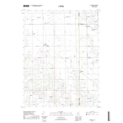
2019 Map of Sandford
USGS Topo · Published 2019About this map
Sandford sits along the state line in this contemporary survey, serving as a focal point for a region defined by its dispersed agricultural communities and complex county boundaries. The map documents the rural intersection of Edgar and Vermillion counties in Illinois with Vigo County in Indiana. This borderland landscape is dotted with ancestral burial grounds such as Fort Hamilton Cem and Blackburn Cem, alongside small settlements like Vermilion and Elbridge. The terrain is etched by the drainage patterns of Sugar Cr and W Little Sugar Cr, which dictate the placement of local roads like Sulphur Springs Rd. Evidence of the area's industrial past remains visible in features like the Green Valley Mine Pond, while the legacy of early religious life is preserved at sites like the Old Baptist Cem and Little Grove Cem.
Find a feature on this map
63 named features on this map. Tap any name to fly to it.
Don’t see what you’re looking for? This feature index may not catch every label — zoom into the map to look around manually.
Map Details
Editions of this 2019 Sandford Map
This is the sole edition of this map. No revisions or reprints were ever made.
Other maps of this area

1932 · Marshall
USGS Topo · 1:62,500

1937 · Marshall
USGS Topo · 1:62,500

1941 · Terre Haute
USGS Topo · 1:24,000

1942 · Dennison
USGS Topo · 1:24,000

1947 · Paris
USGS Topo · 1:62,500

1948 · Terre Haute
USGS Topo · 1:24,000

1949 · Paris
USGS Topo · 1:62,500

1950 · New Goshen
USGS Topo · 1:24,000

1950 · Sandford
USGS Topo · 1:24,000

1951 · Clinton
USGS Topo · 1:24,000