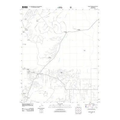
2011 Map of Sandia Park
USGS Topo · Published 2011About this map
San Antonito and Sandia Park serve as central points in this landscape where mountain canyons meet high-desert arroyos. The map illustrates a developed network of residential communities and rural outposts, including Sandia Knolls and the modern residential layout of Paako Communities. Mining history is evident through several named sites such as the Mohawk, Chief and Lion Mine and Tocco Mine, indicating the mineral interest in the areas surrounding Monte Largo.
Find a feature on this map
72 named features on this map. Tap any name to fly to it.
Don’t see what you’re looking for? This feature index may not catch every label — zoom into the map to look around manually.
Map Details
Editions of this 2011 Sandia Park Map
This is the sole edition of this map. No revisions or reprints were ever made.
Other maps of this area

1892 · San Pedro
USGS Topo · 1:125,000

1954 · Sandia Crest
USGS Topo · 1:24,000

1954 · Placitas
USGS Topo · 1:24,000

1954 · Sandia Park
USGS Topo · 1:24,000

1954 · San Pedro
USGS Topo · 1:24,000
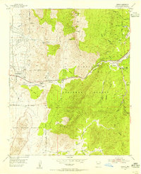
1954 · Tijeras
USGS Topo · 1:24,000

1954 · Sedillo
USGS Topo · 1:24,000

1954 · Hagan
USGS Topo · 1:24,000

1954 · Edgewood
USGS Topo · 1:24,000

1954 · San Felipe Pueblo
USGS Topo · 1:62,500