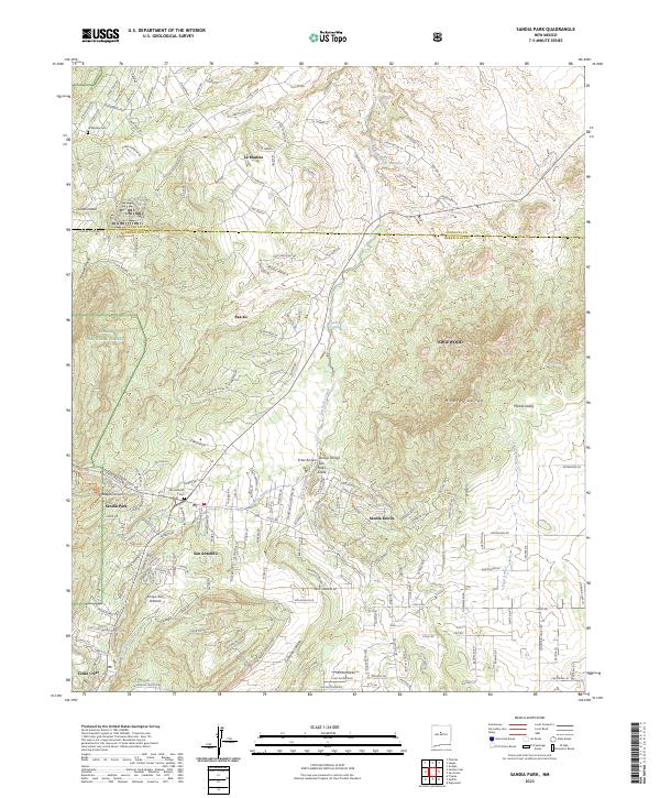
2023 Map of Sandia Park
USGS Topo · Published 2023About this map
San Antonio and the neighboring community of Sandia Park serve as central points in this modern look at the eastern slopes of the Sandia Mountains. The terrain is defined by a series of deep drainage networks, including Gutierrez Canyon and Tecolote Canyon, which flow through the foothill landscape toward the open basins to the east. Historically significant sites such as the San Antonio Cem and the La Madera Cem offer tangible points of interest for genealogists tracing families in the East Mountains area.
Find a feature on this map
174 named features on this map. Tap any name to fly to it.
Don’t see what you’re looking for? This feature index may not catch every label — zoom into the map to look around manually.
Map Details
Editions of this 2023 Sandia Park Map
This is the sole edition of this map. No revisions or reprints were ever made.
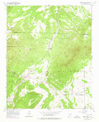
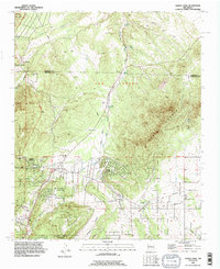
Historical Maps of Paako Communities Through Time
3 maps found