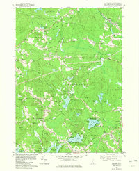
1981 Map of Sandown
USGS Topo · Published 1981About this map
Sandown and the surrounding Rockingham County landscape appear here in the early 1980s, defined by a network of recreational ponds and small historic settlements. The Exeter River flows through the northeast, passing the village of Fremont, while numerous interior water bodies like Phillips Pond, Showell Pond, and Angle Pond host various campgrounds and seasonal communities. The southern reaches are anchored by West Hampstead and East Hampstead, showing the residential development of the era alongside legacy sites like Lakeview Cem and Pine Grove Cem.
Find a feature on this map
82 named features on this map. Tap any name to fly to it.
Don’t see what you’re looking for? This feature index may not catch every label — zoom into the map to look around manually.
Map Details
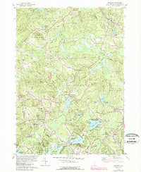
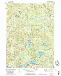
Editions of this 1981 Sandown Map
3 editions found
Other maps of this area

1888 · Haverhill
USGS Topo · 1:62,500

1890 · Haverhill
USGS Topo · 1:62,500

1893 · Haverhill
USGS Topo · 1:62,500

1905 · Manchester
USGS Topo · 1:62,500

1917 · Mt. Pawtuckaway
USGS Topo · 1:62,500

1919 · Mt. Pawtuckaway
USGS Topo · 1:62,500

1921 · Suncook
USGS Topo · 1:62,500

1935 · Haverhill
USGS Topo · 1:62,500

1939 · Mt. Pawtuckaway
USGS Topo · 1:62,500

1941 · Manchester
USGS Topo · 1:62,500