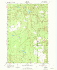
1952 Map of Sands
USGS Topo · Published 1972About this map
The Chicago and North Western corridor defines the settlement pattern of this interior Marquette County landscape in the early 1950s. Small rail-oriented communities like Sands and Gentian sit along the tracks, while Sands Station and the settlement of Cascade near Goose Lake Outlet highlight the area's historical connection to transportation and mining. The topography is dominated by the Negaunee Hills and Ragged Hills, which overlook a complex network of glacial water bodies including Pelissier Lake, Powell Lake, and Uncle Tom Lake. In the southern reaches, the East Branch Escanaba River cuts through the terrain, while the presence of scattered Gravel Pits points to the local extraction industries supporting the region's mid-century infrastructure. Numerous small creeks like Cherry Creek and Cedar Creek drain the surrounding marshes and bluffs, illustrating the hydrologic character of the Sands and Richmond townships.
Find a feature on this map
30 named features on this map. Tap any name to fly to it.
Don’t see what you’re looking for? This feature index may not catch every label — zoom into the map to look around manually.
Map Details
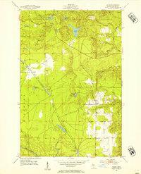
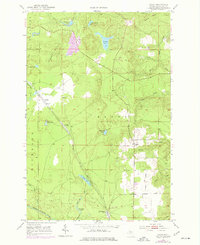
Editions of this 1952 Sands Map
4 editions found
Other maps of this area

1907 · Marquette
USGS Topo · 1:62,500

1932 · Harvey NW
USGS Topo · 1:31,680

1932 · Harvey SE
USGS Topo · 1:31,680

1932 · Harvey SW
USGS Topo · 1:31,680

1932 · Harvey NE
USGS Topo · 1:31,680

1952 · Sands
USGS Topo · 1:24,000

1952 · Ishpeming
USGS Topo · 1:62,500

1952 · Gwinn
USGS Topo · 1:62,500

1952 · Palmer
USGS Topo · 1:24,000

1952 · Gwinn
USGS Topo · 1:24,000