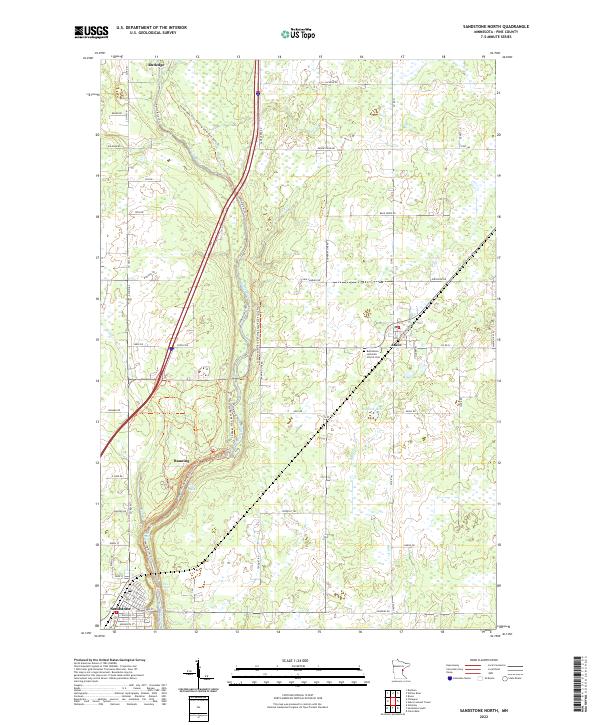
2022 Map of Sandstone North
USGS Topo · Published 2022About this map
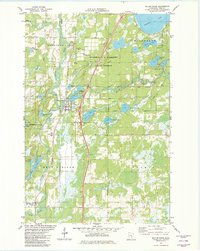
The Kettle River carves a dramatic path through the center of this Pine County landscape, defining the rugged character of Banning State Park. The river's power is evident at Hell's Gate Rapids and Quarry Rapids, where the water transitions through varied elevations. This modern survey illustrates the settlement patterns of eastern Minnesota, from the northern cluster at Rutledge to the street grids of Askov and Sandstone.
Find a feature on this map
66 named features on this map. Tap any name to fly to it.
Don’t see what you’re looking for? This feature index may not catch every label — zoom into the map to look around manually.
Map Details
Editions of this 2022 Sandstone North Map
This is the sole edition of this map. No revisions or reprints were ever made.
Other maps of this area

1953 · Duluth
USGS Topo · 1:250,000

1958 · Duluth
USGS Topo · 1:250,000
1961 · Sandstone
USGS Topo · 1:62,500
1961 · Moose Lake
USGS Topo · 1:62,500
1962 · Bruno
USGS Topo · 1:62,500
1962 · Cloverdale
USGS Topo · 1:62,500
1980 · Sandstone
USGS Topo · 1:100,000
1981 · Cloverdale
USGS Topo · 1:24,000
1981 · Askov Lookout Tower
USGS Topo · 1:24,000
1981 · Willow River
USGS Topo · 1:24,000