
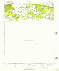
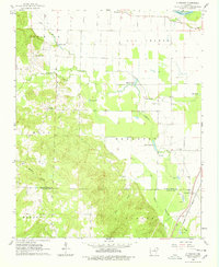
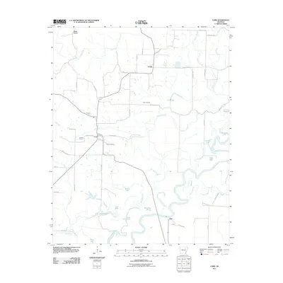
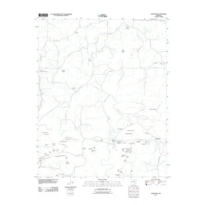
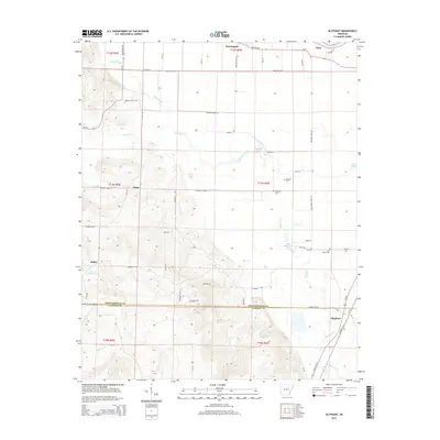
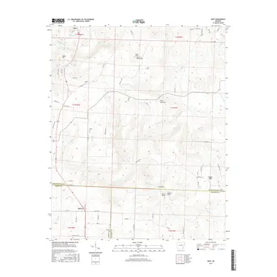
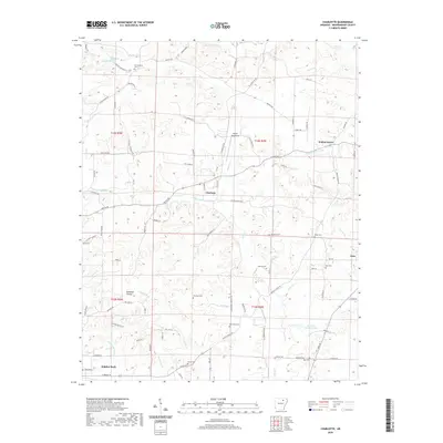
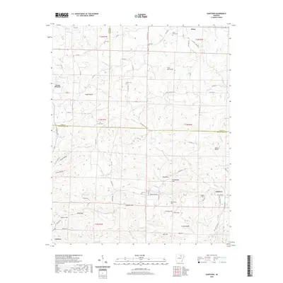
1989 Map of Sandtown
USGS Topo · Published 1990About this map
Poke Bayou winds through this rural Arkansas landscape, carving a path through a region defined by scattered farming communities and country parishes. This late 1980s documentation captures the borderlands of Independence, Izard, and Sharp Counties, where the terrain rises toward heights like Napoleon Hill and Peter Martin Hill. The settlement patterns are anchored by small villages such as Mt Pleasant and Sidney, while the backcountry is dotted with landmarks of local genealogy, including Barren Fork Ch and Eutopia Ch. A network of hollows—such as Wildcat Hollow and Beatty Hollow—directs the flow of numerous branches like Hackley Branch toward larger water bodies. The presence of several family-named burial grounds, such as Conyers Cem and Lees Chapel Cem, suggests a deeply rooted local history established long before the modern roads and the southern Pipeline corridor appeared.
Find a feature on this map
52 named features on this map. Tap any name to fly to it.
Don’t see what you’re looking for? This feature index may not catch every label — zoom into the map to look around manually.
Map Details
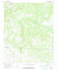
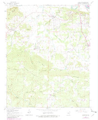
Editions of this 1989 Sandtown Map
This is the sole edition of this map. No revisions or reprints were ever made.
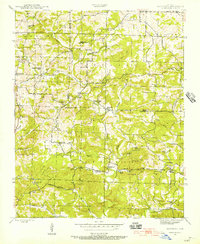
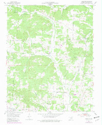
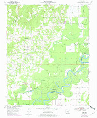
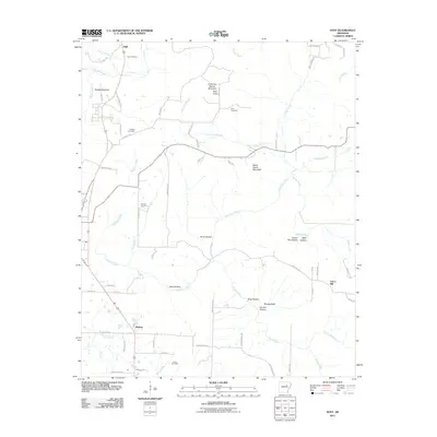
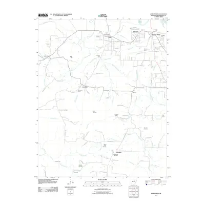
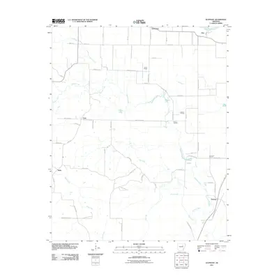
Historical Maps of Cushman Through Time
38 maps found
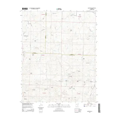
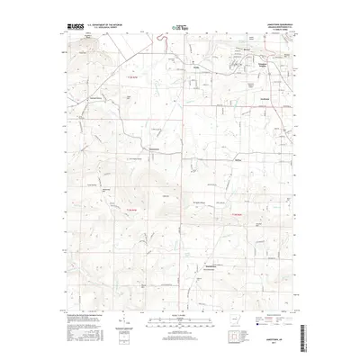
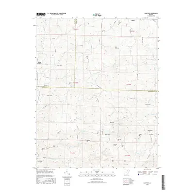
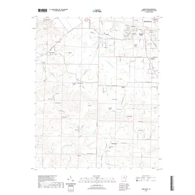
1942 Jamestown
Independence County, AR
1943 Sandtown
Independence County, AR
1954 Charlotte
Independence County, AR
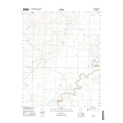
1955 Cord
Independence County, AR
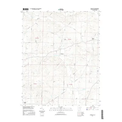
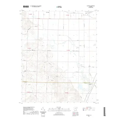
1962 Olyphant
Independence County, AR
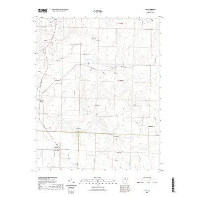
1965 Huff
Independence County, AR
1965 Jamestown
Independence County, AR
1989 Sandtown
Independence County, AR
2011 Charlotte
Independence County, AR
2011 Cord
Independence County, AR
2011 Huff
Independence County, AR
2011 Jamestown
Independence County, AR
2011 Olyphant
Independence County, AR
2011 Sandtown
Independence County, AR
2014 Charlotte
Independence County, AR

2014 Cord
Independence County, AR
2014 Huff
Independence County, AR
2014 Jamestown
Independence County, AR
2014 Olyphant
Independence County, AR
2014 Sandtown
Independence County, AR
2017 Charlotte
Independence County, AR
2017 Cord
Independence County, AR
2017 Huff
Independence County, AR
2017 Jamestown
Independence County, AR
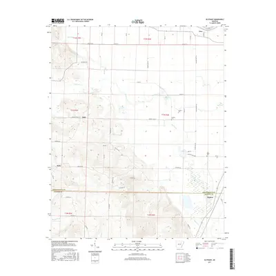
2017 Olyphant
Independence County, AR
2017 Sandtown
Independence County, AR
2020 Charlotte
Independence County, AR

2020 Cord
Independence County, AR
2020 Huff
Independence County, AR
2020 Jamestown
Independence County, AR
2020 Olyphant
Independence County, AR
2020 Sandtown
Independence County, AR
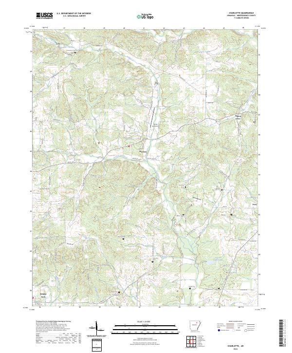
2024 Charlotte
Independence County, AR
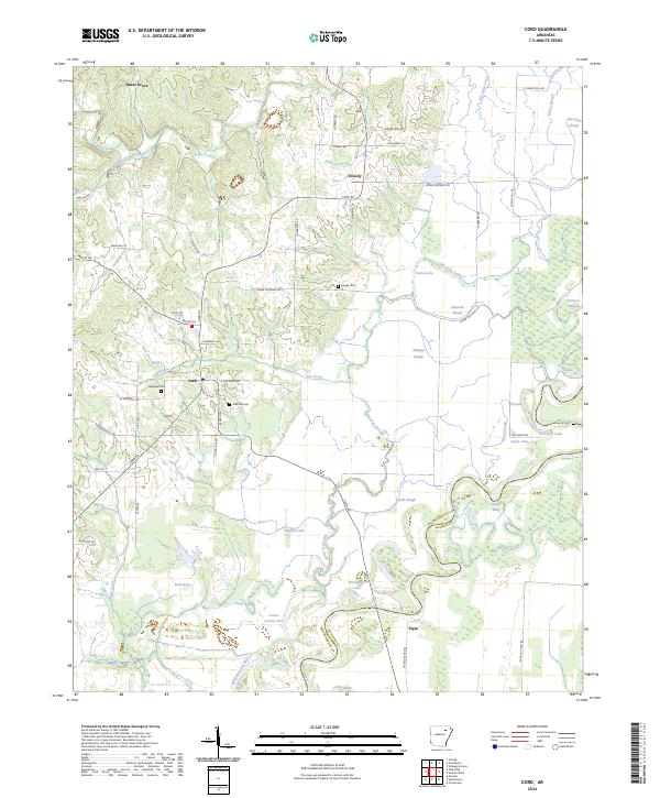
2024 Cord
Independence County, AR
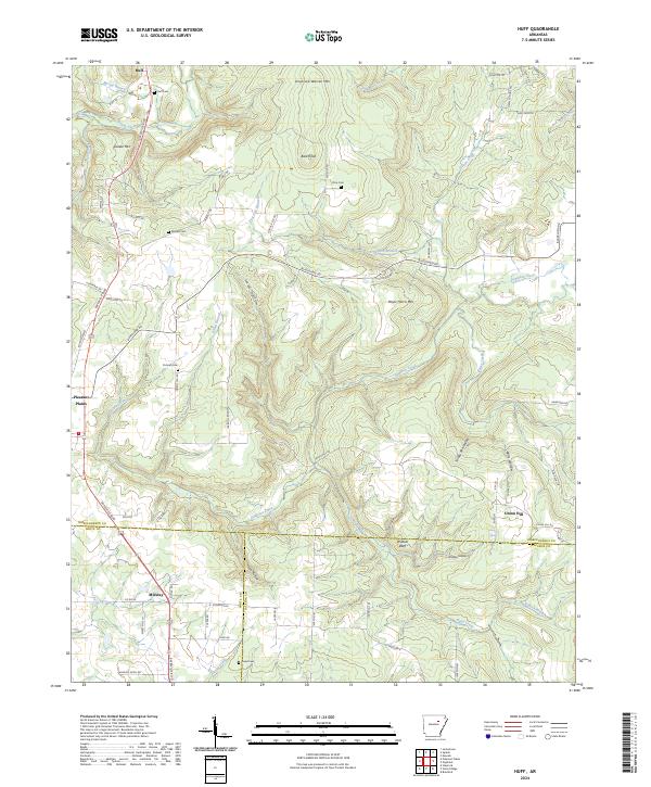
2024 Huff
Independence County, AR
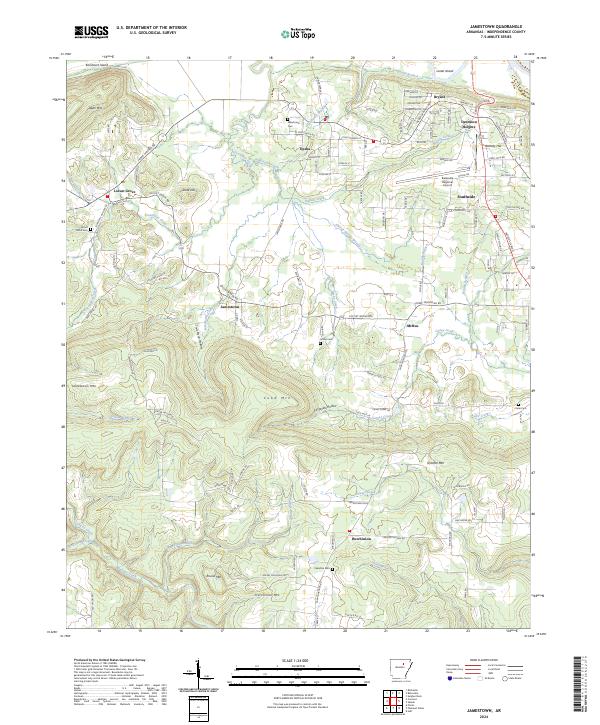
2024 Jamestown
Independence County, AR
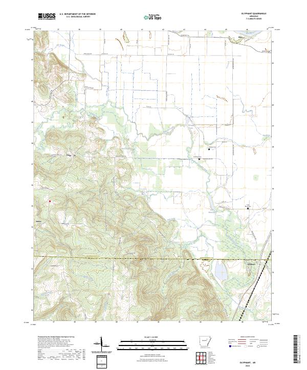
2024 Olyphant
Independence County, AR
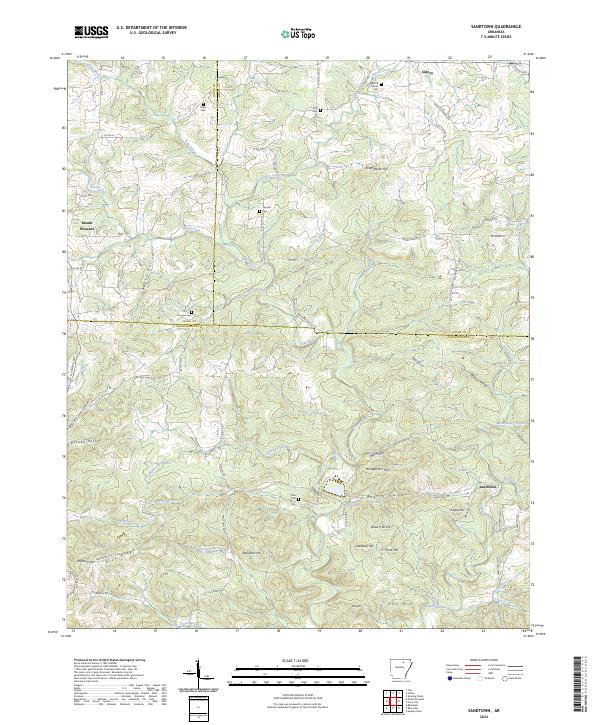
2024 Sandtown
Independence County, AR