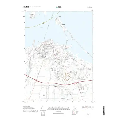
2019 Map of Sandusky
USGS Topo · Published 2019About this map
Sandusky serves as a major hub for Lake Erie maritime activity, anchored by its proximity to the Moseley Channel and the expansive Sandusky Bay. The map reveals a densely organized urban grid centered on the Erie County Courthouse, extending southward toward newer developments like Fairview Lanes and the Sandusky Mall. Significant historical landmarks such as Johnson Island and the specialized Cedar Point peninsula define the shoreline, while the interior landscape is punctuated by numerous memorial sites including the Cholera Cem and the Ohio Veterans Home Cem.
Find a feature on this map
198 named features on this map. Tap any name to fly to it.
Don’t see what you’re looking for? This feature index may not catch every label — zoom into the map to look around manually.
Map Details
Editions of this 2019 Sandusky Map
This is the sole edition of this map. No revisions or reprints were ever made.
Other maps of this area

1901 · Put-In-Bay
USGS Topo · 1:62,500

1901 · Bellevue
USGS Topo · 1:62,500

1903 · Bellevue
USGS Topo · 1:62,500

1903 · Put In Bay
USGS Topo · 1:62,500

1904 · Sandusky
USGS Topo · 1:62,500

1916 · Kelleys Island
USGS Topo · 1:62,500

1919 · Kelleys Island
USGS Topo · 1:62,500

1956 · Toledo
USGS Topo · 1:250,000

1959 · Kimball
USGS Topo · 1:24,000

1959 · Milan
USGS Topo · 1:24,000