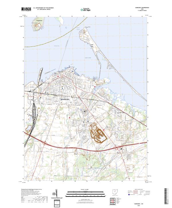
2023 Map of Sandusky
USGS Topo · Published 2023About this map
Sandusky and its shoreline on Lake Erie dominate this modern topographic view, revealing a landscape deeply marked by its civic and maritime history. The street grid of the city center terminates at the waterfront near the Erie County Courthouse, while the M V Pelee Island Ferry route connects the mainland to the islands across Sandusky Bay. Of particular interest to genealogists and local historians is the high density of burial grounds throughout the city, including the Cholera Cem, a somber reminder of past epidemics, and the Ohio Veterans Home Cem near Oakland. The map also captures the narrow peninsula of Cedar Point and the nearby Johnson Island, illustrating the complex coastal geography of the Moseley Channel area. Inland, the terrain is defined by a network of engineered drainage features like Taylor Ditch and Hemming Ditch that service the outskirts near Wilmer and Bogart.
Find a feature on this map
186 named features on this map. Tap any name to fly to it.
Don’t see what you’re looking for? This feature index may not catch every label — zoom into the map to look around manually.
Map Details
Editions of this 2023 Sandusky Map
This is the sole edition of this map. No revisions or reprints were ever made.
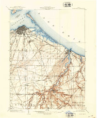
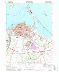
Historical Maps of Margaretta Township Through Time
4 maps found

Featured Locations
- Sandusky, OH
- Perkins Township, OH
- Ranch Wood, Perkins Township
- Southgate Acres, Perkins Township
- Marblehead, Danbury Township