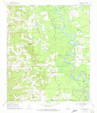
1970 Map of Sandy Hook
USGS Topo · Published 1972About this map
The Pearl River carves a winding course through the borderlands of Mississippi and Louisiana, defining the character of this 1970 landscape. Near the settlement of Sandy Hook, the river's active oxbow system is evident in features like Blue Lake, Spains Lake, and Harper Lake, which reflect the shifting hydrology of the floodplain. This era shows a community rooted in local institutions, documented through a high density of rural cemeteries and churches such as United Ch Cem, Ford Chapel, and Sunlight Ch Cem.
Find a feature on this map
37 named features on this map. Tap any name to fly to it.
Don’t see what you’re looking for? This feature index may not catch every label — zoom into the map to look around manually.
Map Details
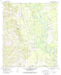
Editions of this 1970 Sandy Hook Map
2 editions found
Other maps of this area

1949 · Angie
USGS Topo · 1:31,680

1950 · Crains Creek
USGS Topo · 1:31,680

1953 · Hattiesburg
USGS Topo · 1:250,000

1953 · Mobile
USGS Topo · 1:250,000

1957 · Mobile
USGS Topo · 1:250,000

1958 · Hattiesburg
USGS Topo · 1:250,000

1959 · Bogalusa
USGS Topo · 1:62,500

1959 · Poplarville
USGS Topo · 1:62,500

1960 · Mobile
USGS Topo · 1:250,000

1963 · Mobile
USGS Topo · 1:250,000