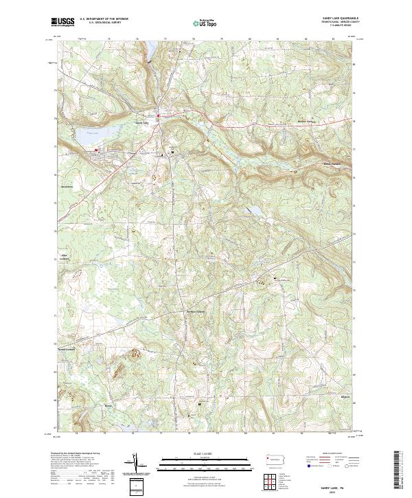
2023 Map of Sandy Lake
USGS Topo · Published 2023About this map
Sandy Lake and the adjacent borough of Stoneboro anchor this landscape in northwestern Pennsylvania, where the terrain is defined by glacial features and several significant watercourses. The local hydrology is dominated by Sandy Creek and Wolf Creek, which drain a region of rolling elevations including Henderson Hill and Benn Hill. The map detail follows the path of the Norfolk Southern railway as it skirts the eastern edge of the borough, reflecting the area's long-standing connection to industrial transport corridors.
Find a feature on this map
21 named features on this map. Tap any name to fly to it.
Don’t see what you’re looking for? This feature index may not catch every label — zoom into the map to look around manually.
Map Details
Editions of this 2023 Sandy Lake Map
This is the sole edition of this map. No revisions or reprints were ever made.
Other maps of this area

1909 · Franklin
USGS Topo · 1:62,500

1910 · Hilliards
USGS Topo · 1:62,500

1911 · Franklin
USGS Topo · 1:62,500

1911 · Stoneboro
USGS Topo · 1:62,500

1912 · Hilliards
USGS Topo · 1:62,500

1913 · Stoneboro
USGS Topo · 1:62,500

1913 · Mercer
USGS Topo · 1:62,500

1939 · Mercer
USGS Topo · 1:62,500

1943 · Mercer
USGS Topo · 1:62,500

1943 · Stoneboro
USGS Topo · 1:62,500
Featured Places
- Sandy Lake, PA
- New Vernon Township, PA
- Frenchcreek Township, PA
- Mineral Township, PA
- Jackson Township, PA